Christchurch residents are preparing for a shift in weather after recent warm conditions gave way to a cold front bringing heavy rain and cooler temperatures. MetService forecasters say the contrast between recent heat and the incoming change has created conditions for showers, wind and a rapid cool-down across the region.
Sudden Weather Shift After Warm Spell
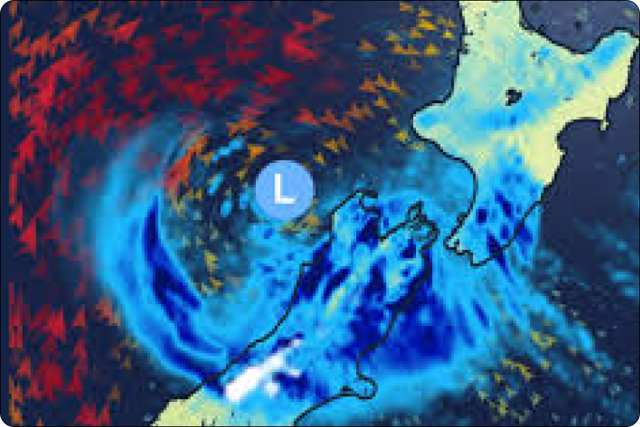
Christchurch and wider Canterbury have recently seen warmer than average temperatures, with highs pushing into the mid-20s and even high-20s before the front moved in. But that warm spell is now ending as a southerly change pushes through, bringing heavier rain and a noticeable drop in temperatures over the coming days.
Heavy Rain and Wind Ahead
MetService and local weather reporting indicate that rainfall could become persistent and heavy at times, particularly later tonight and into the next 24–48 hours. Cooler southerly winds will follow, spreading through the city and into inland areas with lower daytime temperatures expected after the front passes.
Residents should prepare for surface water on roads, possible slippery driving conditions, and gustier winds as the cold change arrives. Christchurch’s position near the Southern Alps often means these fronts move swiftly, producing marked temperature swings and changeable skies.
Know Before You Head Out
- Expect rain bands moving in tonight and persisting into midweek.
- Temperature drops may feel sharp after recent heat.
- Windier conditions may accompany showers, especially near open plains.
More detailed local forecasts and warnings are available through official weather services. Thanks for following this weather update staying across evolving forecasts helps you plan around conditions that can change quickly in the South Island.